1
Data
Optical satellites, radar, high-resolution imagery, elevation and climate data.
Land Sensing Geospatial Analytics
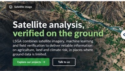
Satellite observation, machine learning and field verification, combined into evidence that you can act on.
The four stages at a glance
Every LSGA project follows the same four stages. We start from the data, analyse it, check the results in the field, and deliver information you can use for decisions.
Optical satellites, radar, high-resolution imagery, elevation and climate data.
Land and crop mapping, spectral indices, time series and change detection.
Field surveys, GPS reference points, training and testing, accuracy checks.
Maps, GIS data, area statistics, dashboards and concise reports.
Worked example
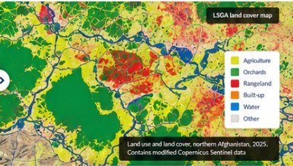
This example illustrates how satellite imagery can be turned into crop maps and area statistics after validation.
Tools we use
Cloud processing and satellite imagery analysis.
Mapping, spatial analysis and data preparation.
Statistical analysis and modelling.
Data processing and machine learning.
Get in touch
Tell us what you need to know, and we will propose how to answer it.