1
Maps
clear and accurate maps (GeoTIFF, PDF)
Land Sensing Geospatial Analytics
Verified geospatial information for agriculture, land and climate risk, and geospatial monitoring and verification of projects in any sector.
How our services fit together
We work in two sectors: agriculture and land, and climate risk and hazard. Monitoring and verification can support projects across many sectors.
| Service type | Agriculture and land | Climate risk and hazard | Other sectors |
|---|---|---|---|
| Mapping and assessment | ✓ | ✓ | By scope |
| Monitoring and change detection | ✓ | ✓ | By scope |
| Geospatial monitoring and verification | ✓ | ✓ | ✓ |
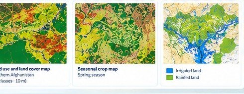
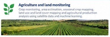
Agriculture and land monitoring
We provide maps and analysis on crops, land use and land cover, area and production estimates, and changes over time.
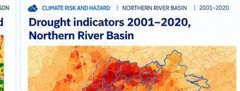
Climate risk and hazard
We map and assess climate-related risks using satellite data and climate records to support risk-informed planning.
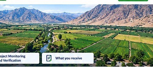
What you receive
clear and accurate maps (GeoTIFF, PDF)
ready-to-use files (GeoTIFF, Shapefile, Excel)
summary tables and estimates
methods and results
points and summary tables
concise technical findings
Get in touch
Tell us what you need to know, and we will propose how to answer it.